
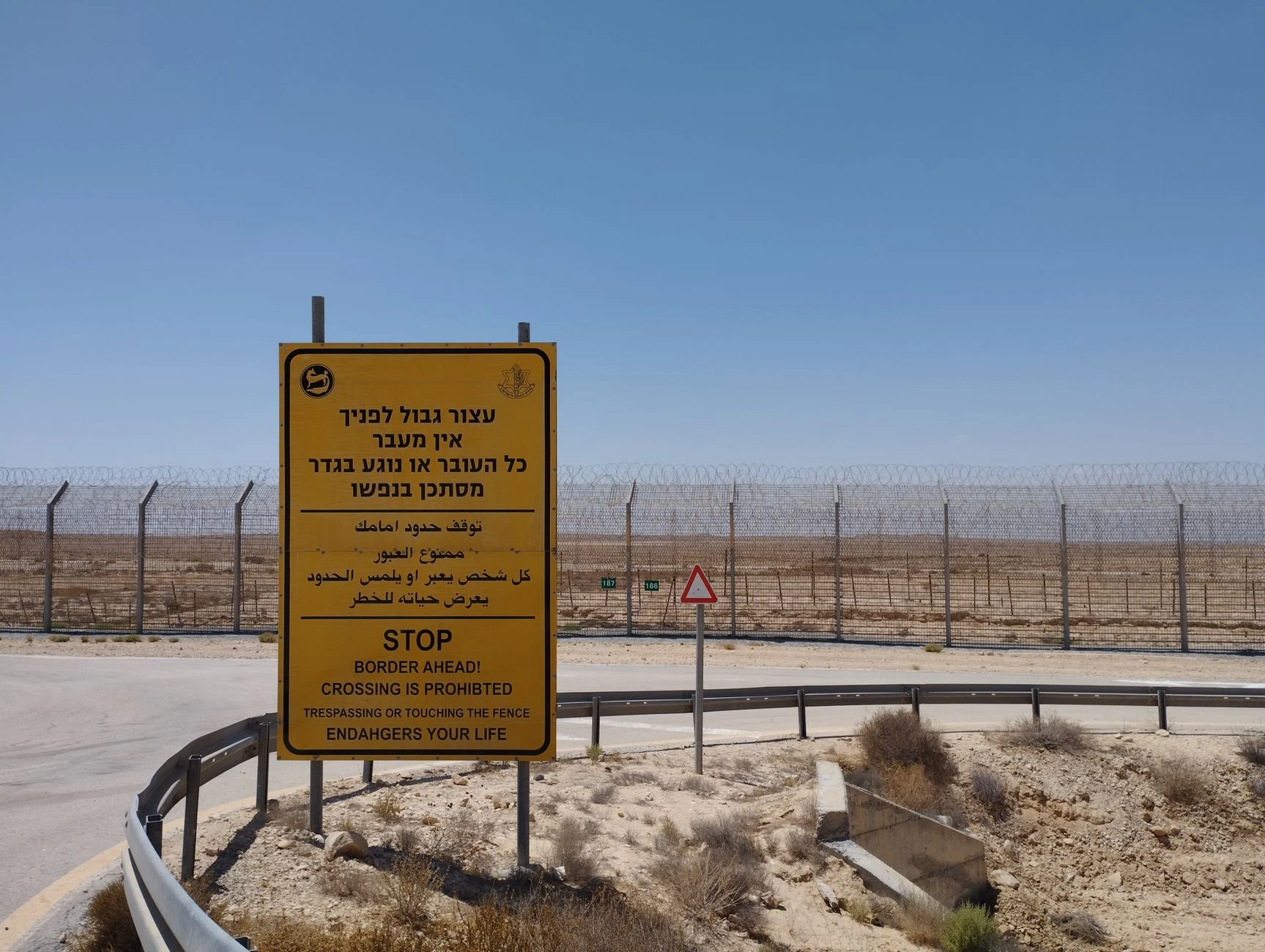

The Historical Roots of Modern Border Demarcation Disputes
What happened
Border disputes remain a persistent feature of the international landscape, frequently resurfacing in diplomatic dialogues and occasionally escalating into conflict. These disputes often arise from complex historical antecedents, rather than recent developments alone. Understanding the deep-rooted origins of such territorial disagreements requires a careful examination of colonial-era boundary delineations, the legacies of treaties that defined—and often ambiguously described—borders, and the evolving geopolitical dynamics that shape claims over contested areas.
Why it matters
Borders define sovereignty, influence resource control, and affect the security and identity of populations. Disputes over borders can undermine regional stability, complicate international relations, and hinder economic development. A nuanced comprehension of their historical genesis is essential for policymakers, scholars, and international mediators seeking durable solutions. Without such context, contemporary negotiations risk repeating past mistakes or overlooking underlying grievances that fuel tensions.
Industry context
The domain of international boundary studies intersects with geopolitics, international law, and conflict resolution. Entities engaged in diplomacy, defense analysis, and global governance increasingly rely on multidisciplinary approaches to interpret these disputes. Historical cartography, treaty analysis, and ethnographic studies are critical tools within this field. Moreover, institutions such as the United Nations and regional organizations often confront these disputes in their peacekeeping and mediation efforts, underscoring the practical implications beyond academic discourse.
Analysis
Many contemporary border disputes trace their origins to colonial-era interventions where imperial powers delineated territorial boundaries with limited regard for indigenous populations, existing political entities, or geographic realities. Arbitrary lines drawn on maps—often to serve administrative convenience or imperial rivalries—laid the groundwork for ambiguous claims. Treaties signed under unequal power dynamics compounded these issues, frequently containing vague language or contradictory provisions regarding territorial extent.
Additionally, shifts in geopolitical landscapes—such as decolonization, the emergence of new states, or changes in regional power balances—have reactivated dormant disputes or created new ones. In some cases, the post-colonial states inherited boundary definitions without internationally recognized arbitration mechanisms, resulting in protracted disagreements. The interplay between historical documentation, local realities, and international legal principles complicates resolution efforts.
Importantly, modern technological advances in cartography and geospatial intelligence have transformed how these disputes are approached, offering greater precision but also sometimes highlighting previously overlooked ambiguities. Furthermore, the increasing strategic and economic value of border regions—due to natural resources or trade routes—intensifies the stakes involved.
What to watch next
Future developments in border dispute resolution will likely hinge on integrating historical analysis with contemporary diplomatic innovation. Key areas to observe include the role of international judicial bodies and arbitration panels in clarifying treaty ambiguities, the application of advanced geospatial technologies in boundary demarcation, and the influence of regional power shifts on negotiation dynamics. Additionally, the evolving norms in international law regarding self-determination and territorial integrity may further shape dispute outcomes. Ultimately, sustainable resolutions will depend on balancing respect for historical claims with pragmatic approaches tailored to present-day geopolitical realities.